Beginner's Guide to Following the South China Sea Without Getting Lost
The South China Sea is one of the few international stories where a single map explains years of headlines. Learn a handful of countries, three or four reefs, and one legal ruling, and the daily news stops sounding like noise and starts reading like a plot.
No prior knowledge required. What follows is enough structure to follow the story, and enough skepticism to notice when someone is selling you a version of it.
Why this stretch of water keeps making news
It sits between China and the Philippines, Vietnam, Malaysia, Brunei, and Indonesia, and it links the Pacific to the Indian Ocean through the Strait of Malacca. Container ships, tankers, and fishing fleets all pass through it. The fish feed coastal communities, the seabed may hold oil and gas, and the deep water is useful for submarines. Trade, food, energy, and military geography in one place — that is the whole story in a sentence.
In practice, only two things move: who is present in the water, and who can stay there. Everything else is commentary, including a lot of the commentary you will read about it.
The main players, without the spin
- China claims sovereignty over most of the sea, plus the Paracels, the Spratlys, Macclesfield Bank, and Scarborough Shoal. It has built artificial islands on reefs it controls, with runways and radar, and fields a large coast guard and a fleet of maritime militia vessels that look like fishing boats.
- Vietnam has a long mainland coast and claims both the Paracels and the Spratlys. Its run-ins with China have tended to involve survey ships working gas blocks and fishing fleets pushed away from familiar grounds.
- The Philippines claims features in the western part of the sea, brought the 2016 arbitration case, keeps a small marine detachment on a rusting ship grounded at Second Thomas Shoal, and holds a mutual defense treaty with the United States.
- Malaysia claims southern Spratly features and an extended continental shelf off Sabah and Sarawak, and has protested Chinese coast guard and survey vessels inside waters it considers its own.
- Brunei has a small claim near its coast and cares mostly about keeping its offshore energy fields undisturbed.
- Taiwan holds Itu Aba, also called Taiping Island — the largest natural feature in the Spratlys — and maintains claims that mirror the mainland's map.
- Indonesia is not a claimant to the islands, but the exclusive economic zone around its Natuna Islands overlaps the line China draws. Jakarta calls itself a non-claimant and pushes back when Chinese vessels appear.
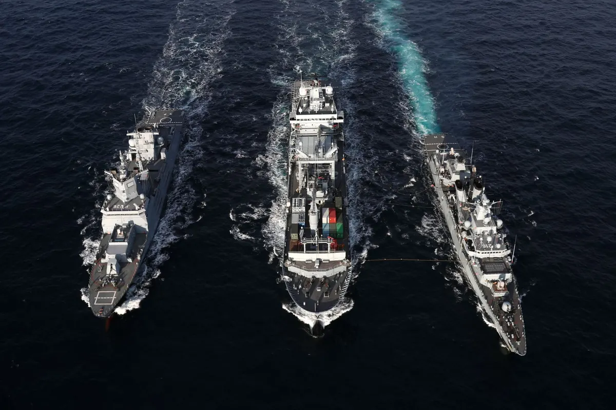
- Outside navies matter too. The United States runs freedom-of-navigation patrols and surveillance flights; Japan, Australia, and several European navies have sailed through, sometimes together.
What the legal fight is actually about
The nine-dash line
Chinese maps show a line — originally eleven dashes, now usually nine — looping down from the coast and enclosing most of the sea. Its basis is historical, tied to a map drawn in the 1940s, rather than to the technical rules of the Law of the Sea Convention. Beijing has never published precise coordinates the way a court would expect.
What the convention gives, and takes away
The 1982 UN Convention on the Law of the Sea, ratified by both China and the Philippines, is the framework nearly everyone argues inside. It grants a twelve-nautical-mile territorial sea, a two-hundred-mile exclusive economic zone for resources, and rights over a continental shelf. It also says what does not count. A rock that cannot sustain human habitation or economic life of its own generates no economic zone. A low-tide elevation that vanishes at high tide generates nothing at all.
The 2016 ruling
The Philippines brought a case under the convention, and an arbitral tribunal sitting in The Hague issued an award in 2016. It found that China's claim to historic rights inside the nine-dash line had no basis in the convention, that several contested features are rocks or low-tide elevations, and that China had interfered with Philippine rights. China declined to take part and rejects the award outright. There is no world police force for rulings like this; enforcement is political, which is why the award matters enormously in arguments and only sometimes on the water.
That is background, not legal advice. If you are writing formally or advising anyone on a specific dispute, talk to a specialist in the law of the sea.
Flashpoints worth learning by name
Recognize these and most headlines will land in context.
- Scarborough Shoal. A reef and lagoon west of Luzon. A 2012 standoff ended with Philippine access lost, and China has kept a presence since.
- Second Thomas Shoal, or Ayungin. Where the Philippines keeps a few marines aboard the grounded BRP Sierra Madre. Resupply runs are the single most reliable source of incidents, including blocking and water-cannon use.
- Fiery Cross Reef. One of several reefs China has turned into an artificial island with a runway, harbor, and radar. Useful shorthand for arguments about militarization.
- The Paracel Islands. Taken by China from South Vietnam in 1974. Vietnam still claims them, and fishing there is risky.
- Vanguard Bank. A Vietnamese energy area where survey ships and coast guard vessels have squared off more than once.
- Whitsun Reef. Where a large group of Chinese vessels once anchored, drawing protests.
- The Natuna Islands. Indonesian waters that keep testing the "non-claimant" label.
How to read coverage without getting spun
Three habits do most of the work.
- Watch the verbs. "Shadowed," "blocked," "swarmed," "water-cannoned," and "collided" describe very different events, and each side picks its verbs carefully. If a report uses a strong verb, check whether it also tells you who was where.
- Ask who is counting. Vessel tallies come from coast guards, militias, satellite watchers, and think tanks, and they rarely agree. A number without a source and a date is decoration.
- Separate the law from the water. A legal award can be decisive and still not move a single ship. A ship's position changes nothing about the law and everything about the next week.
Practical habits for keeping up
Skip the hourly doomscrolling. Set one weekly check-in instead, and when a large claim appears, go to primary material: the text of the convention, plain-language summaries of the 2016 award, and statements from the claimants and from ASEAN, which has spent years negotiating a code of conduct for the sea with China. Target dates for that code have slipped repeatedly, so treat announced deadlines as intentions rather than schedules.
If you want raw signal rather than reporting, follow shipping traffic and notice-to-mariners pages, and keep a simple map nearby to mark positions as you read. Ten minutes with a map beats an hour with a hot take.
Anyone who tells you this dispute is simple, or that it will be settled next month, is selling something. The useful questions are narrower: who is in the water today, under what legal theory, and what changed since last week.